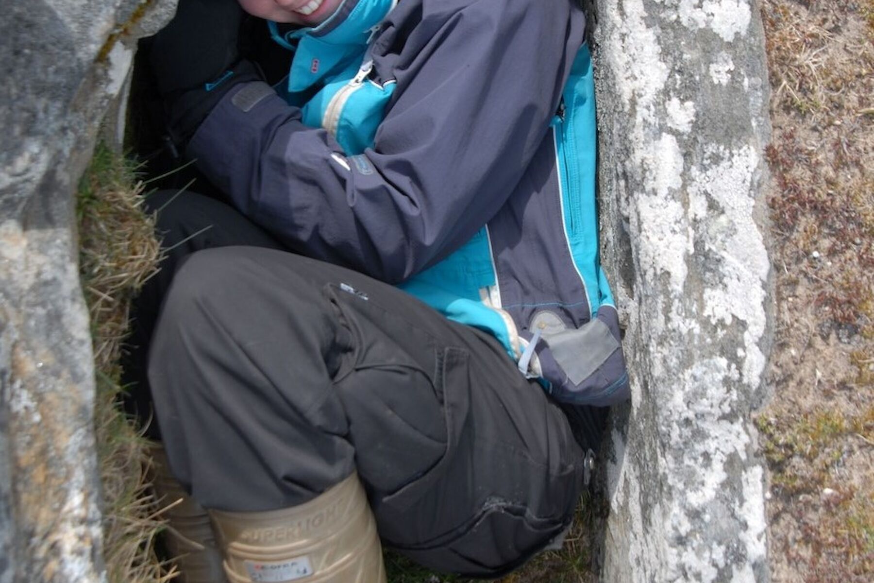
There is a gravelly plateau called Baile Mhargait on the west bank of the River Naver, near its outlet and opposite Bettyhill. Devoid of vegetation, it is elevated about 20 inches above the river, and measures about 1/2 mile long by 1/3 mile broad. On it are numereous constructions of various kinds; stony mounds abound, mostly small and circular, as well as numbers of cairns and hut circles. No remains of brochs are observable. The sand on the surface of the plateau is constantly shifting, disclosing various remains.
The plateau called Baile Mhargait (Margaret's Town) was inhabited until 1780 when encroaching sand drove the tenants away. In early 1900 after a stormy winter which blew away much of the sand, numerous structures of various shapes and sizes, evidently 18th century buildings, were exposed.
This burial cist is on a gravel ridge and is oriented North Soutg. It measures 0.8m by 0.6m.
Categories
Cairn
Contact Details
Strathnaver Museum
Opening Times
Always open
Location Information
Area: North Sutherland
OS Grid Reference: NC 6990 6110
